Fraunhofer Institute for Transportation and Infrastructure Systems IVI
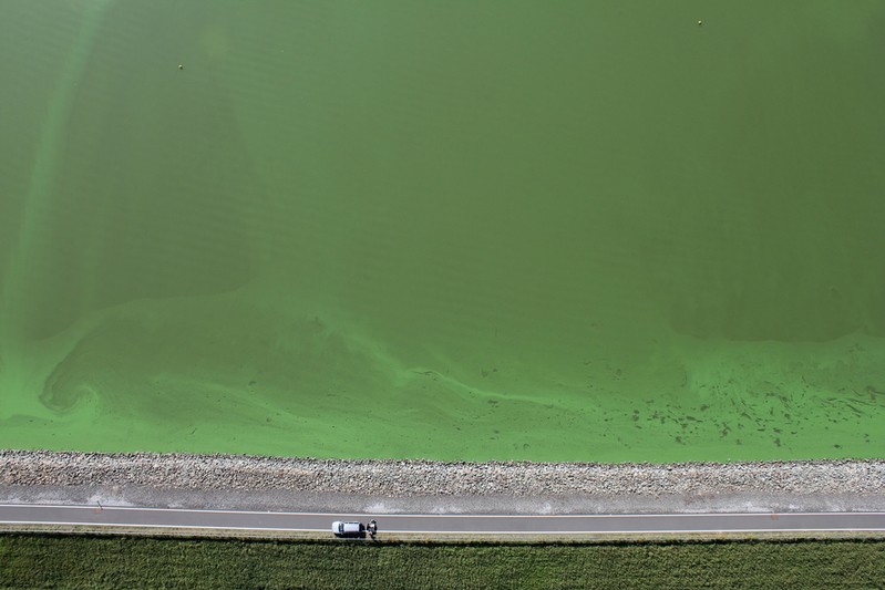
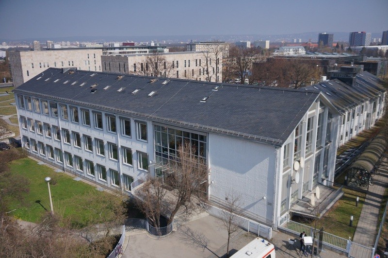
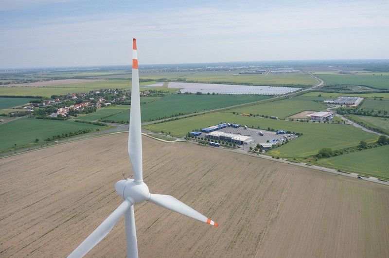
Aerial images – both RGB and infrared – are very well suited for quickly obtaining an overview over large surface areas. HORUS® is additionally capable of flying up very close to buildings, bridges, towers and rocks and of producing detailed close-ups. Repeatable monitoring tasks can be simpler and cheaper when performed from the air.
Examples from the field of expert assessments and preservation of evidence:
- Monitoring of bodies of water, e. g., for the detection of pollution
- Monitoring of buildings
- Assessments for agriculture and forestry, e. g., detection of damages in fields and the countryside
- Monitoring of flood damages